Boating Navigation on the Lake of the Ozarks
 On the Lake of the Ozarks, navigation is more than “knowing where you’re going.” With winding channels, countless coves, heavy seasonal traffic, and changing conditions, safe boating depends on preparation, awareness, and a few reliable tools.
Spanning 93 nautical miles and welcoming millions of visitors each year, the Lake of the Ozarks is far more than a scenic destination—it is a living, moving waterway. From early-morning anglers and midday cruisers to sunset paddlers and late-evening returns, the Lake remains in near-constant motion throughout the boating season. To keep pace with its energy, many boaters now rely on and equip their watercraft with Global Positioning System (GPS) technology to guide their journeys.
Modern GPS has made getting around easier than ever—especially for visitors, newer boaters, or anyone running after dark. But the best navigators use GPS as one layer, not the whole plan.
Why GPS Helps (A Lot)
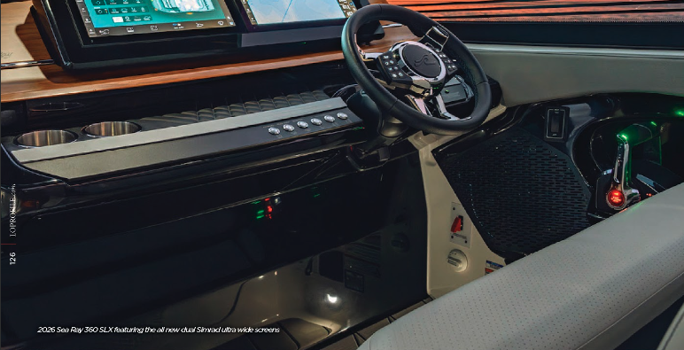
 Today’s GPS systems—dash-mounted units, integrated chartplotters, and mobile apps—can provide:
- Real-time positioning
- Route planning
- Saved waypoints (marinas, docks, coves)
- Depth and hazard awareness (depending on the system/app)
On a lake that can feel disorienting, those features bring confidence quickly.
The Catch: Technology Can Fail
Even dependable systems have limits. GPS can go down due to:
- Dead batteries or power failure
- Overheating phones/tablets in the sun
- Lost signal or glitches
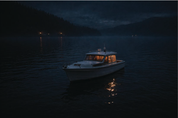
- Screen visibility issues (glare, water spray, nighttime)
That’s why boaters should keep “old-school” navigation knowledge in the mix.
The Layered Approach: What Really Keeps You Oriented
1. Keep your eyes up. GPS doesn’t replace what’s in front of you—especially on busy weekends.
- Watch for channel markers, hazard buoys, and no-wake zones
- Expect big wakes and sudden traffic shifts
- Slow down in tight areas, near docks, and in low visibility
2. Learn landmarks. Coves can start to look alike, especially in low light. Build your own “mental map” using:
- Bridges and bluffs
- Marina entrances
- Distinct shoreline cuts
- Large points, docks, and recognizable structures
3. Carry true backups.
A magnetic compass doesn’t need a signal—or a charge. It won’t tell you where the restaurant is, but it will keep you traveling intentionally instead of wandering.
Paper charts still matter too. They offer a wide view of the lake’s structure, depth contours, and hazard areas that can be easy to miss when you’re zoomed in on a small screen.
If All Else Fails: The Smart Move is to Slow Down
 When you’re unsure on the water, the safest strategy usually isn’t powering ahead.
- Reduce speed to buy time and improve visibility
- Look for markers and familiar shoreline features
- Return to a known point if needed
- Communicate with passengers and stay calm
- Make conservative choices—especially near dusk or in traffic
At the Lake of the Ozarks, the best navigators aren’t the ones with the most advanced tech—they’re the ones who combine tools with skill, awareness, and respect for the water.
Top Navigational “Must-Haves” on Board
- GPS / Chartplotter
- Lake map or chart (paper or downloaded offline)
- Magnetic compass
- A seasoned Lake captain (or a friend who knows the coves)
- Night visibility help (spotlight / quality nav lights; night vision if you have it)
- Weather app with radar alerts
- Lake-specific app (Float LOZ or similar)
While the exact percentage is unknown, faulty equipment (including navigation components) is officially linked to approximately
8% of all boating accidents and
4% of boating-related deaths.